Stay Ahead with OriyentSubscribe to Our Newsletter
Get insights, feature updates, and real-world use cases from teams using Oriyent to transform their field operations. Learn how others are streamlining inspections, managing assets, and driving productivity through spatial data. We respect your inbox. No spam—ever. Unsubscribe anytime.
Subscribe Now
How Oriyent Works
Streamline Field Inspections and Asset Tracking with GIS-Integrated Workflows

Step 1: Create Custom Inspection Templates
Design smart, reusable forms to standardize inspections, audits, and asset reporting across your team.
- Drag-and-drop field data collection templates for any workflow
- Add checkboxes, dropdowns, file uploads, GPS-tagged fields & more
- Connect templates to specific map layers or asset types
- Preview forms on mobile before deployment
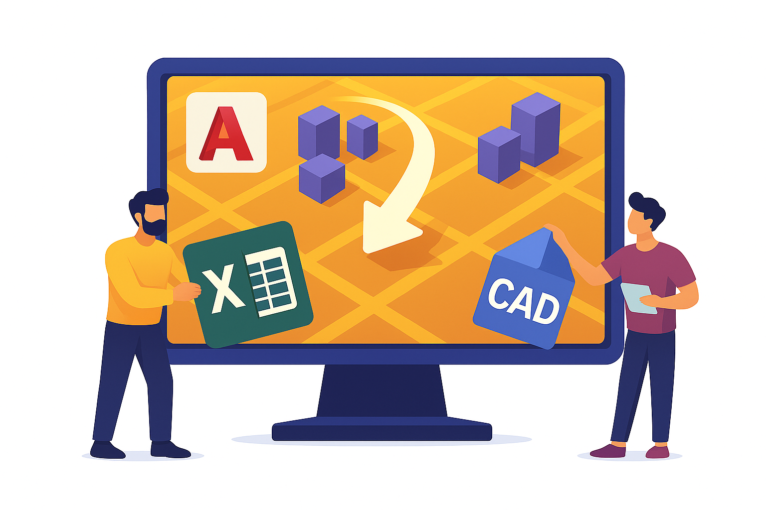
Step 2: Import Asset Registers or Spatial Data
Easily upload your existing datasets to jumpstart digital transformation.
- Import asset registers from Excel or CSV
- Overlay CAD and KML files onto interactive GIS maps
- Convert map features into database records
- Generate QR codes for asset tracking

Step 3: Assign Forms to Assets or Locations
Link inspection forms to physical infrastructure, data groups, or custom geographies.
- Assign forms individually or in bulk
- Set up recurring inspections and due dates
- Enable filtered views by asset type, project, or region

Step 4: Capture Field Data with Mobile Devices
Empower field teams to work efficiently—online or offline.
- Access and complete forms on iOS or Android devices
- Scan QR codes to pull up location-linked data instantly
- Upload photos, videos, and location-tagged notes
- Sync data automatically when back online

Step 5: Visualize Project Progress with Interactive GIS Maps
Get a real-time view of inspections, assets, and task status—all on a color-coded map interface.
- View project data and form statuses spatially
- Filter by region, user, form type, or completion status
- Spot gaps, delays, or incomplete records with ease
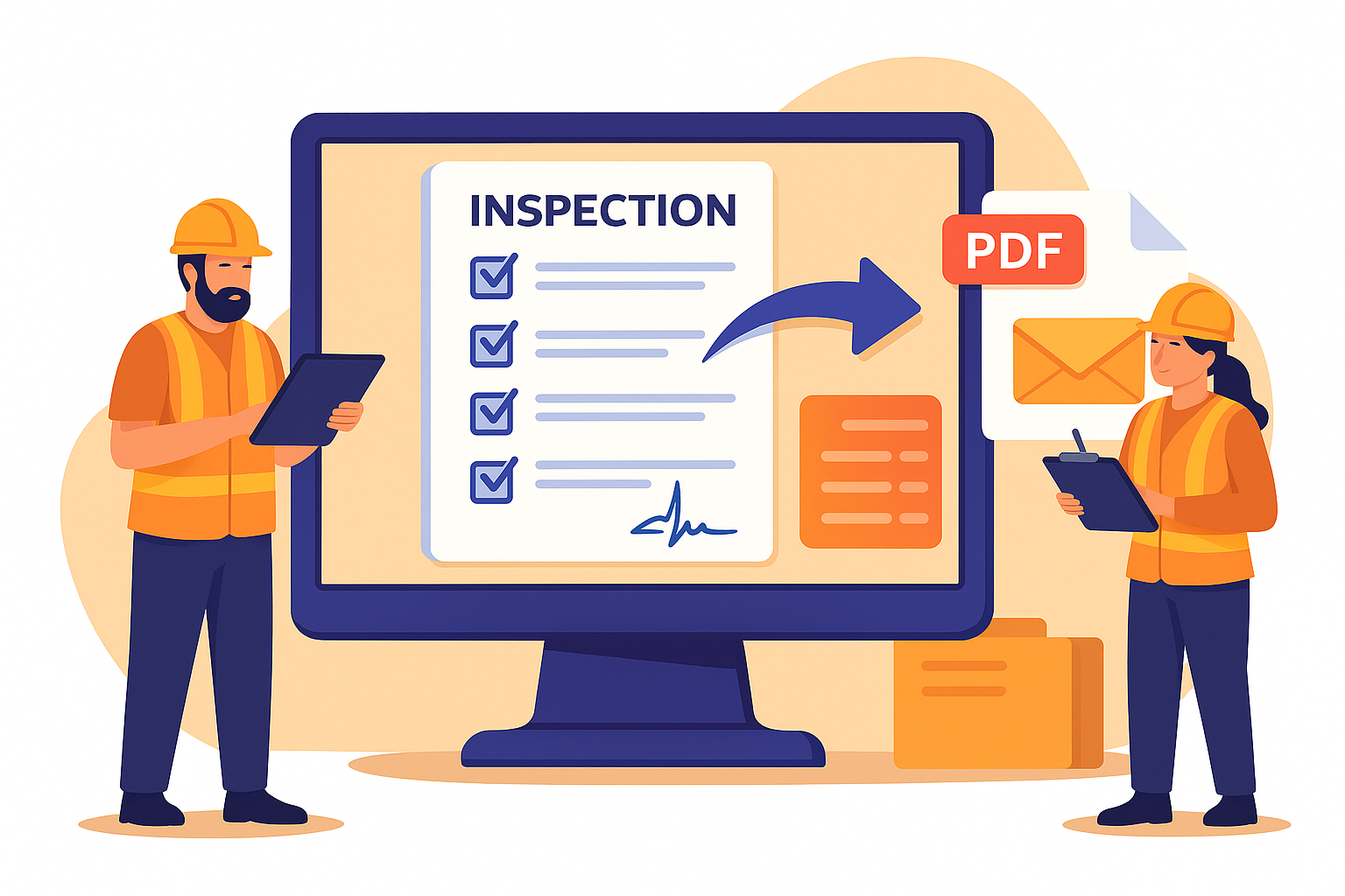
Step 6: Export Reports and Sync Results
Deliver polished, professional documentation—automatically.
- Generate PDF inspection reports by location, date, or user
- Email results to stakeholders or sync with your cloud storage
- Archive forms by project, form status, or inspection cycle
Our Mission
To bridge the gap between the field and office through a powerful, mobile-first platform that connects spatial data with smart form workflows—helping teams visualize progress, improve accuracy, and operate with confidence.