Track, Inspect, Report - All in One GIS Platform

Know What's Done and What's Not Done with GIS Tracking
Oriyent is GIS-powered platform designed to stramline your inspections, documentations and data collection-all in one intiutive system.
Create - Build custom forms with powerful tools
Our team combines years of industry experience with a deep understanding of the latest trends and technologies to deliver exceptional results.
Collect - Capture data in the field with spatial precision
With a portfolio of successful projects and satisfied clients, we have a history of delivering high-quality outcomes on time and within budget.
Distribute - Automate document delivery and achiving
We are dedicated to maintaining the highest standards in everything we do, from the initial consultation to the final delivery.
Report - Track everything with real-time insights
Generate progress reports by project, user, location or date, instantly spot errors and delays with GIS-powered dashboards that turn raw data into actionable insights.
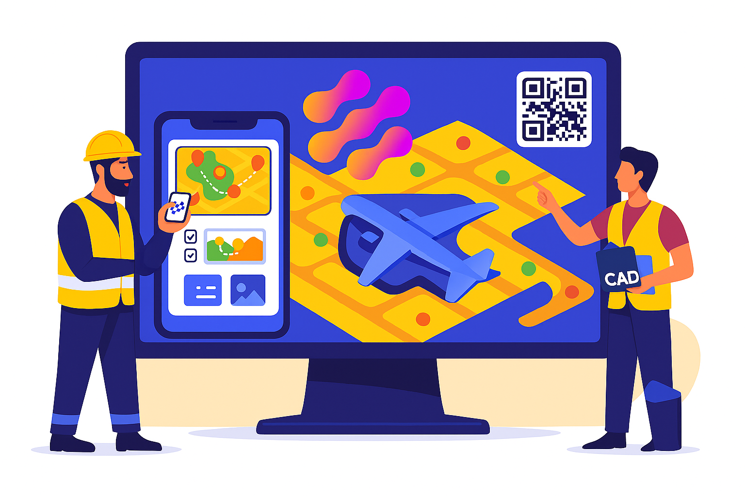
Harness the Power of Spatial Data
Oriyent gives you full visibility over your projects through dynamic, map-based data. Link tasks and forms to real-world locations to streamline inspections, reporting, and asset tracking.
- Organize data into layers, groups, and collections.
- Assign tasks based on geographic locations.
- View color-coded progress directly on your GIS map.
- Access critical data in the field with seamless sync when back online.
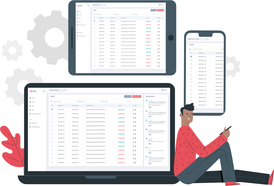
Works Across All Devices
Whether you’re in the office or in the field, Oriyent keeps your team aligned. The platform works across desktop, tablet, and mobile—designed for flexibility without sacrificing functionality.
-
Create and manage templates from your desktop or tablet.
-
Capture field data on-the-go with any mobile device.
-
Keep data consistent across teams with shared, real-time updates.
-
Collaborate effortlessly with teams across locations and devices.
Flexible, Intelligent, Field-Ready
Design tailored inspection forms with Oriyent’s intuitive builder. Choose the inputs you need and connect them to spatial data for a truly intelligent workflow.
- Use dropdowns, checkboxes, media uploads, and more.
- Link forms directly to map features.
- Instantly preview and deploy templates to the field.
- Standardize data collection across teams and projects.
- Add conditional logic for dynamic form behavior.
- Export collected data in multiple formats (CSV, PDF, JSON).

Choose a Plan for Your Next Project
Built to scale with you. With every plan, you get lifetime updates, expert support, and a flexible 30-day free trial.
Team (Mobile-Only Access)
-
30 days free trial
-
Access forms on mobile
-
Complete & submit forms
-
View and interact with GIS maps
-
Scan QR codes to access linked data
-
Work offline and sync data
-
Switch between multiple projects
-
View template previews
-
Import Asset/Data Registers from CSV
-
Create/edit templates
-
Assign templates to map/data
-
Create new forms, data, and groups
-
Bulk assign or complete via map groups
-
CAD/KML import and advanced GIS tools
-
Custom workflows and automation
-
Priority support & onboarding
Creator (Web + Field Access)
-
30 days free trial
-
Access forms on mobile
-
Complete & submit forms
-
View and interact with GIS maps
-
Scan QR codes to access linked data
-
Work offline and sync data
-
Switch between multiple projects
-
View template previews
-
Import Asset/Data Registers from CSV
-
Create/edit templates
-
Assign templates to map/data
-
Create new forms, data, and groups
-
Bulk assign or complete via map groups
-
CAD/KML import and advanced GIS tools
-
Custom workflows and automation
-
Priority support & onboarding
Enterprise Custom
-
30 days free trial
-
Access forms on mobile
-
Complete & submit forms
-
View and interact with GIS maps
-
Scan QR codes to access linked data
-
Work offline and sync data
-
Switch between multiple projects
-
View template previews
-
Import Asset/Data Registers from CSV
-
Create/edit templates
-
Assign templates to map/data
-
Create new forms, data, and groups
-
Bulk assign or complete via map groups
-
CAD/KML import and advanced GIS tools
-
Custom workflows and automation
-
Priority support & onboarding